-
Site Surveying & Mapping
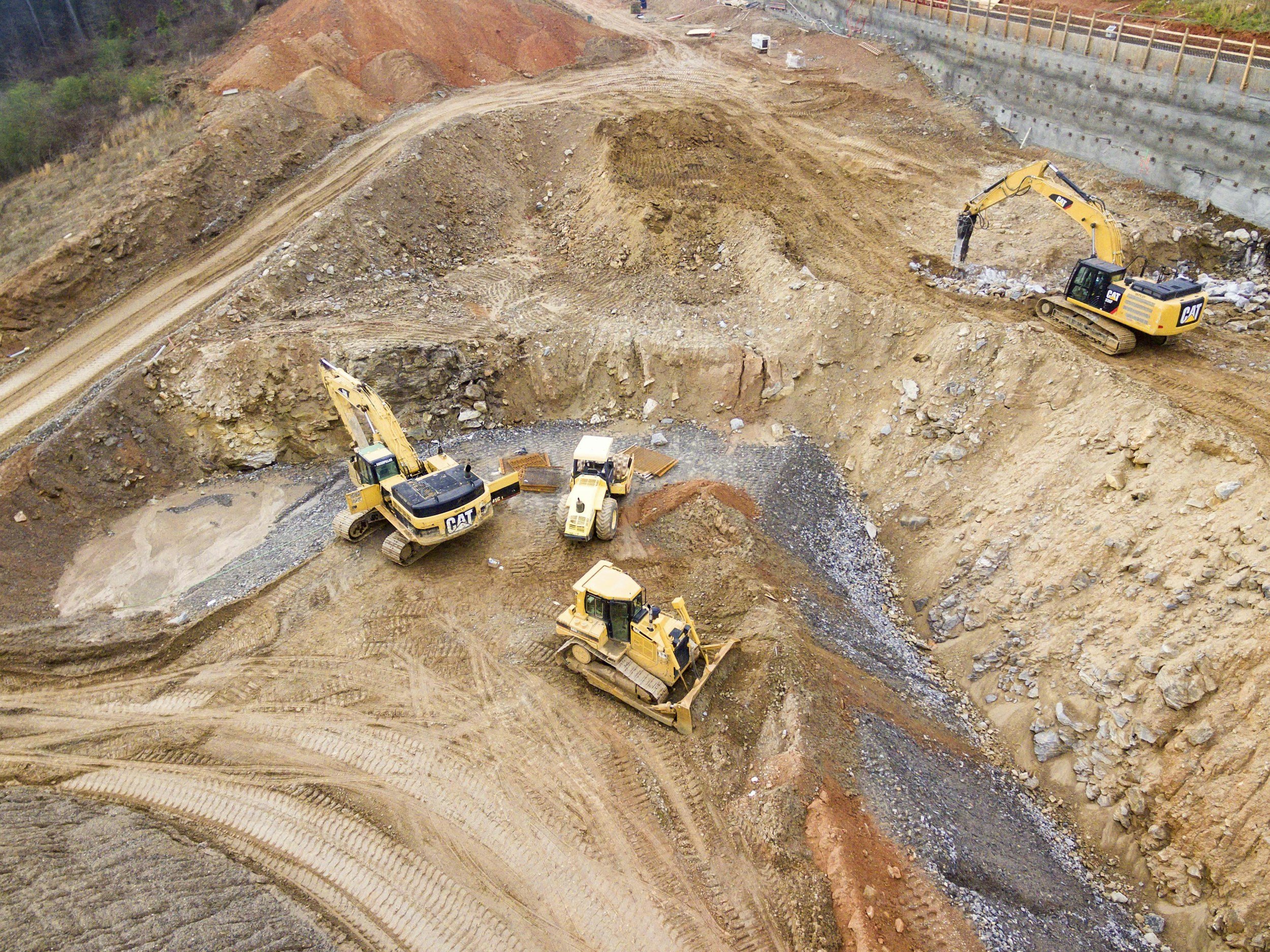
Service: Aerial topographic surveys, 2D orthomosaic maps, 3D models, and Digital Surface Models (DSM).
Uses: Pre-construction planning, site progress tracking, and volume measurements.
-
Progress Monitoring
Service: Regular aerial imaging to document construction progress.
Uses: Weekly or monthly progress reports, stakeholder updates.
-
Thermal Imaging
Service: Infrared imaging for detecting insulation issues, water leaks, or energy loss.
Uses: Inspections of building envelopes, roofs, and HVAC systems.
-
Volumetric Analysis
Service: Calculate stockpile volumes for materials like sand, gravel, and soil.
Uses: Inventory management and project cost tracking.
-
Site Inspections
Service: High-resolution imaging and video of hard-to-reach areas.
Uses: Safety inspections, structural assessments, and compliance checks.
-
Site Security
Service: Monitoring construction sites for theft or vandalism.
Uses: Real-time video feeds or recorded footage for security purposes.

Benefits:
Examples:


