
-

Agriculture
Aerial imagery and multispectral analysis help farmers monitor crop health, irrigation, drainage, and field conditions.
-
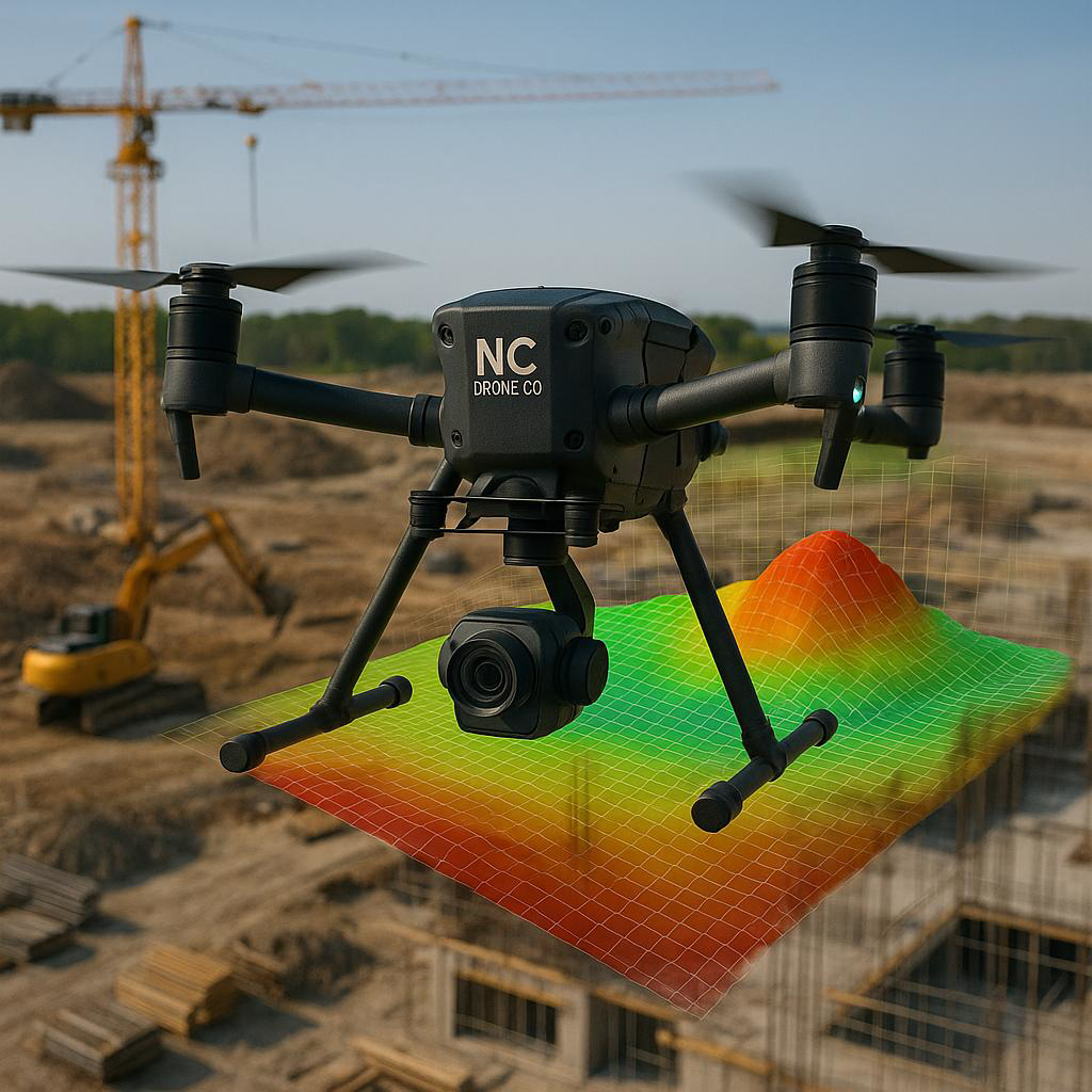
Construction
Progress tracking, site documentation, mapping, and visual updates for construction projects of all sizes. Drones improve planning, communication, and project oversight from start to finish.
-

Education & Training
Our programs introduce students and organizations to FAA regulations, flight operations, safety procedures, and emerging UAS technologies. Hands-on training prepares participants for careers in aviation, mapping, robotics, and data collection.
-

Energy & Utilities
Drones improve the efficiency of inspecting powerlines, substations, solar farms, and utility infrastructure while reducing risk to personnel. Drones identify issues quickly and supports preventative maintenance planning.
-

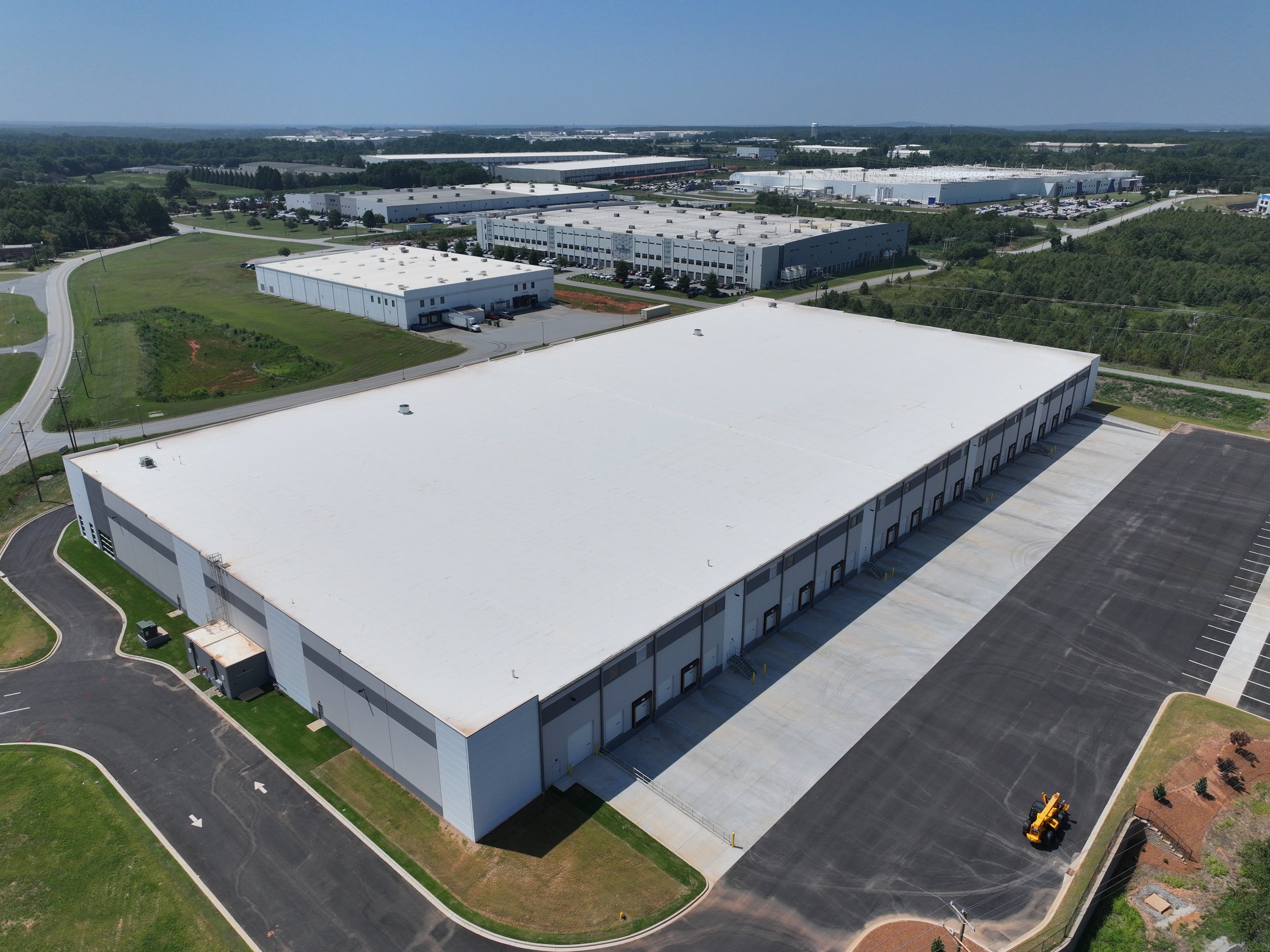
Inspections
Drone inspections provide safe and efficient access to roofs, towers, bridges, industrial facilities, and difficult-to-reach infrastructure. Detailed aerial imagery helps identify damage, maintenance concerns, and operational issues with minimal disruption.
-

Media & Marketing
Professional aerial photography and cinematic video help businesses create engaging visual content for advertising, branding, and social media. Drone footage adds a dynamic perspective that enhances storytelling and audience engagement.
-
Real Estate & Property Management
Aerial photography and video showcase residential, commercial, and raw land properties from perspectives not possible from the ground. Drone imagery highlights property features, surrounding areas, access points, and development potential.
-

Security & Surveillance
Drone technology can support situational awareness, perimeter monitoring, and large-area visual assessments for facilities and events. Aerial visibility provides an additional layer of observation for security operations and emergency response.
-

Sports
Drone video captures unique aerial perspectives for sporting events, training sessions, and promotional content. Dynamic footage enhances live coverage, athlete analysis, and fan engagement.
-
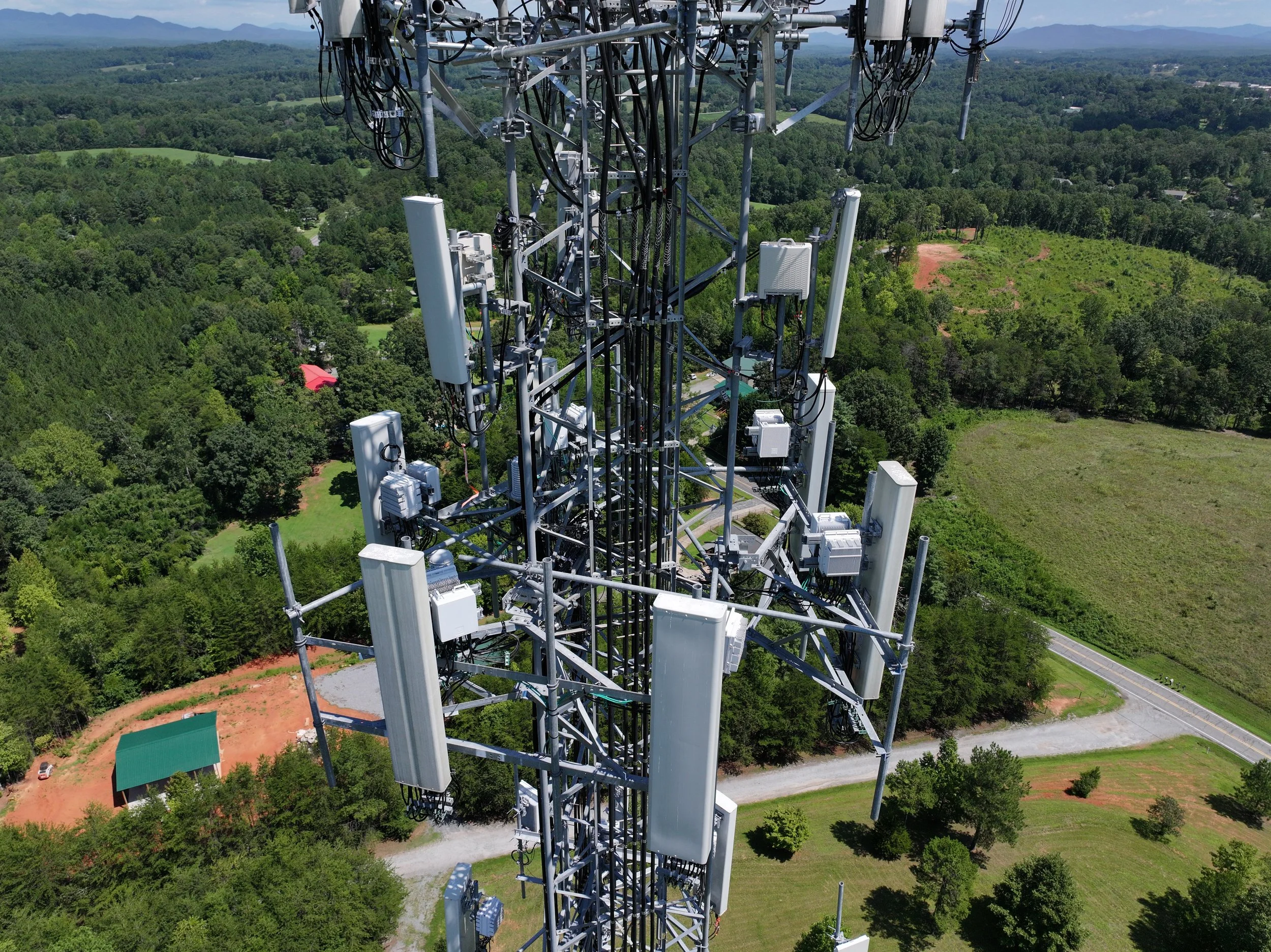
Telecomms
Drones assist with tower inspections, site assessments, and infrastructure documentation for telecommunications providers. Aerial access improves efficiency while reducing downtime and minimizing the need for manual climbs.