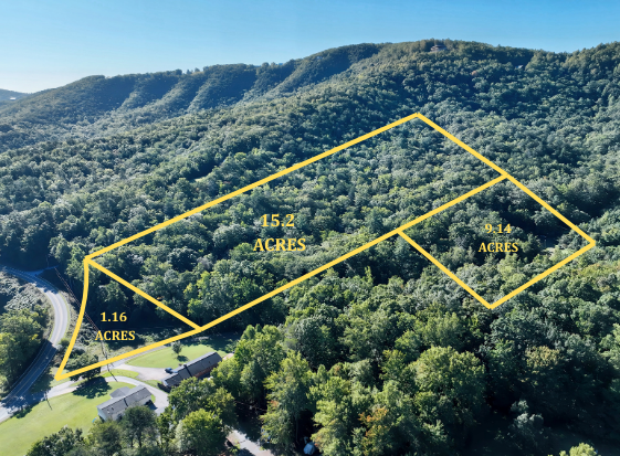
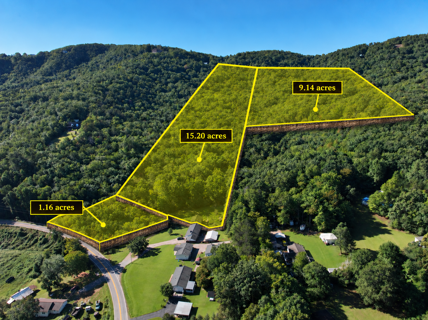
Raw land aerial media
Show the land. Clarify the parcel.
Aerial footage helps buyers understand a property's terrain, access, vegetation, and surroundings. A carefully placed boundary overlay connects those views to the parcel being marketed.
- Capture useful angles Record a high overview, lower oblique views, a top-down view, road access, and notable features. Keep the camera position and horizon consistent for shots that will carry an overlay.
- Trace the parcel Use a reliable survey or parcel GIS reference to place the boundary. Match visible roads, corners, and terrain to the footage, then check the shape frame by frame.
- Add subtle depth Duplicate and slightly offset the parcel shape, connect its corners, and use a translucent fill to create a restrained rising parcel effect. Keep the land visible beneath it.
- Export and review Check line placement, readability, and image quality at full size. Include a note when boundaries are approximate and direct buyers to the survey for exact limits.
Presentation tip: A thin, bright outline with a low-opacity fill usually reads more clearly than a large opaque shape. Keep the lift slight so the footage stays authentic.
Property Boundary Overlays