
2D & 3D Mapping Deliverables
NC Drone Co captures high-quality aerial data and turns it into clear, easy-to-use maps and models. Below is exactly what you receive when you order our mapping services for buildings and infrastructure.
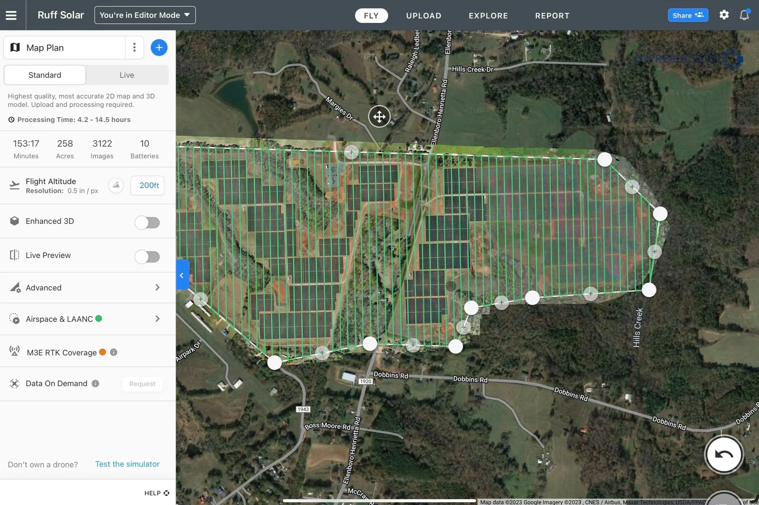
2D Mapping & Orthomosaics
High-resolution top-down maps for roofs, facilities, and infrastructure.
What you get
- Orthomosaic Map – A stitched, top-down aerial image of your site that looks like a detailed “overhead photo” of the entire area.
- Measurements & Markups – Distances, areas, and perimeters so you can measure roofs, parking lots, and structures without climbing or guessing.
- Issue Callouts – Problem areas (damage, missing materials, cracks, corrosion, etc.) clearly highlighted on the map.
- Custom Overlays – Property lines, asset labels, utilities, or client-provided GIS layers placed directly on the map when needed.
Plain-language explanation
Instead of a single drone photo, we fly a precise grid and combine hundreds of images into one large, seamless map. You can zoom in and see detail on roofs, buildings, and grounds without having to visit the site in person.
Think of it as a super-detailed, up-to-date “Google Maps view” of your property, created just for you.
File formats you receive
- High-resolution image files (JPG/PNG) for everyday viewing and reporting.
- GeoTIFF (for engineers and GIS teams who need accurate map data).
- PDF Map Report with legend, scale, and key callouts.
- Interactive web map link – open in any browser, no special software required.
Common use cases
- Roof and façade inspections
- Building and campus documentation
- Construction progress tracking
- Parking lots, campuses, plants, and facility planning
- Emergency planning and pre-incident documentation
3D Models & Digital Twins
Full 3D views of structures so you can inspect from every angle.
What you get
- 3D Photogrammetry Model – A realistic 3D reconstruction of towers, roofs, bridges, or buildings made from high-resolution drone imagery.
- Interactive 360° Viewer – Rotate, zoom, and inspect the structure from your browser as if you were flying around it.
- Point Cloud – A dense set of 3D points that engineers can use for measurements, modeling, and design.
- Textured Mesh / “Digital Twin” – A lifelike 3D surface model that shows both geometry and texture for presentations and planning.
Plain-language explanation
We create a virtual 3D version of your asset so you can inspect it from your desk. You can view every side of a tower, bridge, or building, zoom in on problem areas, and share the model with your team without sending anyone up a ladder or into a risky area.
It’s like having a detailed digital clone of your structure that you can revisit anytime.
File formats you receive
- OBJ / PLY / LAS / XYZ files for engineering, CAD, and BIM workflows.
- High-resolution screenshots and view exports for reports and presentations.
- PDF 3D inspection summary with key views and notes (when requested).
- Interactive web viewer link for quick access and easy sharing.
Common use cases
- Building and roof inspections
- Cell tower and communications infrastructure
- Bridges, trusses, and hard-to-reach structures
- Construction and engineering analysis
- Insurance documentation and claim support
- Renovation and architectural planning
Our 2D & 3D Mapping Workflow
We follow a clear, repeatable process from planning the flight to delivering easy-to-use maps and 3D models. Every step is designed to keep your site safe, your data accurate, and your deliverables simple to understand.
Project Discovery & Site Planning
DEFINE GOALS & REQUIREMENTS
We start with a brief conversation to understand what you need to see: roofs, façades, structures, or full sites. We confirm the area of interest, access points, and any safety or operational constraints.
In plain terms: we make sure we’re mapping the right thing, at the right detail, for the right purpose.
Flight Path Design & Safety Checks
PLAN THE MISSION
We design an autonomous flight plan using professional mapping tools, setting altitude, overlap, and coverage patterns that are ideal for 2D orthomosaics and 3D models. We also verify airspace, weather, and on-site safety conditions.
This ensures the drone flies an efficient, consistent pattern and keeps people and property safe.
Autonomous Flight & Data Capture
COLLECT HIGH-QUALITY IMAGES
The drone flies the planned route and captures high-resolution, GPS-tagged images of your site. For higher accuracy, we can incorporate RTK and ground control points when the project requires survey-grade results.
In simple terms: we gather a dense set of “smart photos” that the software can turn into precise maps and models.
Processing in Pix4D & DroneDeploy
BUILD 2D MAPS & 3D MODELS
Your imagery is securely uploaded to Pix4D and/or DroneDeploy, where it is processed into 2D orthomosaics, 3D models, point clouds, and elevation data. These tools are industry-standard for professional mapping and inspection.
Behind the scenes, this is where hundreds of images are stitched together and transformed into one accurate digital map or model.
Quality Review & Annotations
CHECK & HIGHLIGHT WHAT MATTERS
We review the outputs to confirm full coverage and clarity, then add measurements, labels, and issue callouts relevant to your project— such as damage locations, areas of concern, or key structural elements.
The goal is to translate raw data into clear visuals and notes that support real-world decisions.
Delivery & Walkthrough
USER-FRIENDLY RESULTS
Finally, we deliver your data in easy-to-use formats: shareable web links, PDF reports, and image files compatible with your existing tools. If you’d like, we can schedule a brief virtual walkthrough to review the maps and models together.
You don’t need special software — just a web browser and an internet connection to explore your site in 2D and 3D.